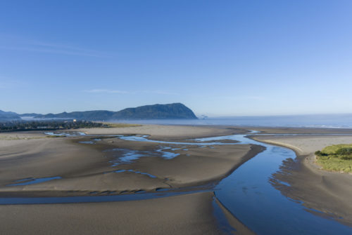
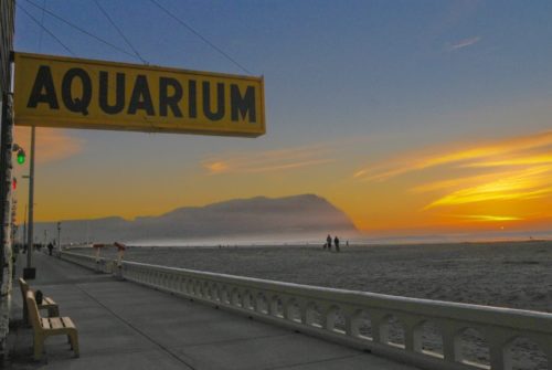
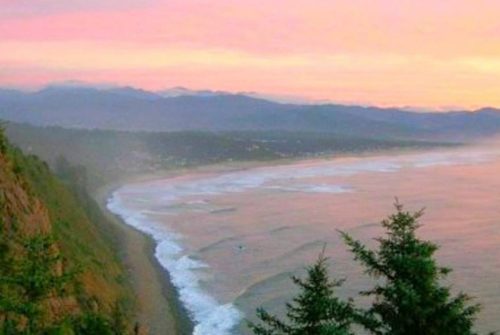
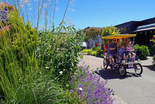
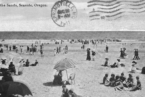
We talk a lot about the fact that Seaside is more than just a day at the beach. For many, coming to the beach is the main priority when visiting this 150-year old coastal community. But poking around the outlying area reveals there truly is a myriad of things to see and do.
On this Saturday, two colleagues and I set out to demonstrate this fact by meeting up at the Seaside Visitors Bureau parking lot (7 N. Roosevelt, Seaside, OR), jumping on our bikes and hitting the road to explore the ride we’ll refer to as Clatsop Loop.
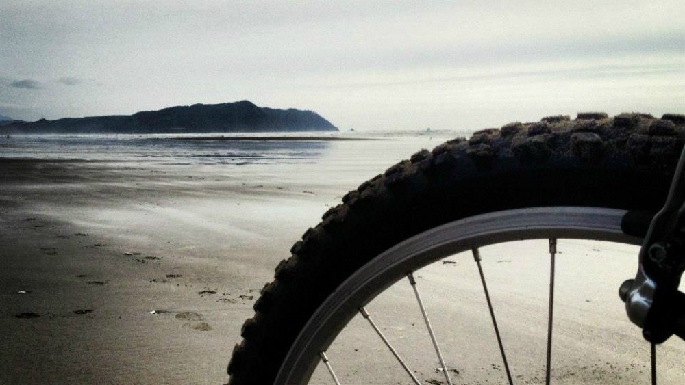
The route we set out on took us through nearly every terrain imaginable (paved road, rocky access roads, paved trails, dirt trails, sandy soil, gentle dunes and finally packed sand on the beach).
I would not recommend this entire trek to a beginner. We traveled a total of 29.3 miles and although I consider myself to be in good, physical shape, I was dead tired as we finished our ride – especially after wrapping the ride over a stretch of six plus miles on the beach. The exhausted feeling was met with a similar feeling of satisfaction but it was a ride I would classify as medium to expert on the skill-level meter. The great thing to keep in mind is that riding just a portion of this loop, or other trails and rides that found in our biking section, can expose you to a plethora of scenery, wildlife and sheer beauty.
Clatsop Loop Ride Detail
Starting out at the Visitors Bureau at an elevation of 23 feet, we climbed 410 feet between the 2.0 and 3.4-mile mark as we navigated the steep and slightly windy hills of Lewis and Clark Road. At the time I felt this would be the most taxing part of the ride. After spending the better portion of the next seven to eight miles on logging access roads (roads that are open for non-motorized recreational use), we entered Lewis & Clark National Park at about the 11-mile mark.
The point of entrance to the Park at this point is Netul Landing and the Fort to Sea Trail. And while a parking lot is provided for those driving in from this point, it should be noted that the $5 daily usage fee (it’s just $30 for an annual access pass) should be paid at the Fort Clatsop Visitor Center (just another 1.5-miles ahead on a beautiful trail that was highlighted on this day by a bald eagle snatching a fish from Lewis and Clark River for lunch).
Once you’ve made it to the Visitor Center (there is a great spot to take a seat and have a light snack at this part of the journey) the next three miles represent another 270-foot gain in elevation but one of the most exciting parts of the ride. The Kwis Kwis Trail (a portion of this stretch) is classified as single-track riding that was a blast to navigate. I loved the endless array of curves, climbs and descents and the setting is extremely peaceful.
Eventually, once connected with Perkins Road, you’ll end up at the eastern edge of Highway 101 (slightly north of Camp Rilea). Be careful crossing the road. Navigating HWY 101 south to Sunset Beach Lane (1.95 miles) is your best bet. From there you’ll access the beach (check tides ahead of time) and enjoy a comfortable cruise (though not as easy as it looks) of about five miles on hard-packed sand until you get to Gearhart.
The 10th Street access in Gearhart will mark the end of your beach ride. While I thoroughly enjoyed this stretch, I likened this portion to riding a stationary bike with the resistance cranked up to seven or eight. Unlike a resistance bike though the setting can’t be changed, and after 20+ miles already ridden my thighs were on extreme burn alert.
The end of the journey takes you through the streets of Gearhart and eventually back to Highway 101. If you’ve made it this far, you’re just 1.8 miles from the Seaside Visitors Bureau and Information Center where a friendly smile or nearby restaurant or pub are waiting for you to recap your four-hour ride.
More two-wheeled adventures
For more on this ride and others throughout the North Coast Mountain Range, we encourage you to check out our biking information or call or visit the Seaside Visitors Bureau for specific details and maps.
See you in Seaside!
Editor’s Note: As with any recreational journey, always carry a map, GPS device (if available) and give friends and relatives your travel intentions. It’s also important on this ride to check local tide charts and plan to enter the beach portion of the ride as the tide is on its way out. For information on biking through Camp Rilea and range activity times which could slightly alter beach riding, please visit the Camp’s website.
